An increase in global temperatures, and sea levels; melting of the polar ice caps, changes in precipitation, atmospheric contamination, deterioration of ecosystems and the disappearance of plant and animal species. These are just some of the examples of the extensive consequences stemming from the transformation to which the planet has been subjected in recent decades. It is a global change, defined by the scientific community as a set of environmental changes that affect the functioning of the Earth, and that are the result of human activity.
Faced with this change, the scientific community has responded by proposing the creation of protocols for the measurement of environmental variables. This collection of data helps us to better understand what is happening. This is the objective of the international Ecopotential project, on which the University of Córdoba is participating. It uses satellite images to measure change on the planet through observation. The objective is to use information from satellites to quantify the "services" that ecosystems provide human societies.
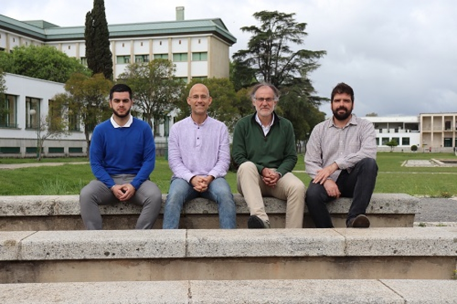
"The European Union has invested a large amount of money to place satellites around Earth, and it has been proven that this information is still not being used as it should be," explained the head of the research at the University of Cordoba, Francisco Javier Bonet. To do this, the project is striving to optimally capitalise on of the images provided by these satellites in protected areas, in which the effects of this global change seem are most worrisome.
The study focused on 26 European areas of special interest, spaces or natural parks where remote sensing tools are being used to monitor different biophysical variables, such as changes in photosynthetic activity, in the flow rate of the rivers, the flowering times of plants, fruit production, and parameters directly related to human activity. For each of these spaces, said the researcher responsible for the project at the UCO, case studies have been carried out and specific problems identified for which the use of satellite images is required.
In Spain, the Sierra Nevada mountain range and the natural area of Doñana have been chosen, two of the largest natural parks in the country, which, due to their environmental uniqueness, merit special protection. In the case of Doñana, the water level of its lagoons is being measured via remote sensing. The major agricultural and tourism operations in the vicinity of the park place strong pressure and "for managers, it is important to know how this resource is changing," says Francisco Javier Bonet.
Specifically, the University of Cordoba is participating in the quantification of the ecosystem services provided by the Sierra Nevada. To this end, the trends in resources –such as water, snow, wood, grass and fruit– are being measured, and the effect that the mountains have had on the regulation of the water hydrological cycle since 1956, the first year for which data from aerial photographs is available. Also being studied is how the extensive network of 3,000 km of irrigation channels, built by Spain's Moors long ago, could help to improve the health of forests.
The objective of all this extensive data collection, on a global scale, is to place it at the service of managers and the scientific community. For this the Ecopotential project will generate a virtual platform with all the data collected, which could be used to generate prediction models that curtail the impact that global change is having on the planet. Information, at least, could be the start of a solution.
Jueves, 29 Agosto 2019 12:45
ECOPOTENTIAL | Satellite Images to Reveal Mankind's Footprint on the Planet
The ECOPOTENTIAL project seeks to monitor how human activity is modifying ecosystems in protected areas
Publicado en
Nature science